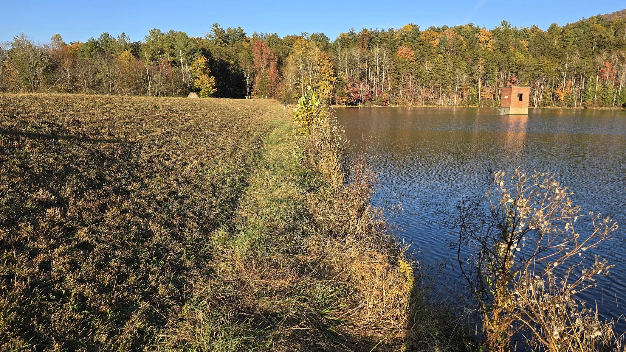
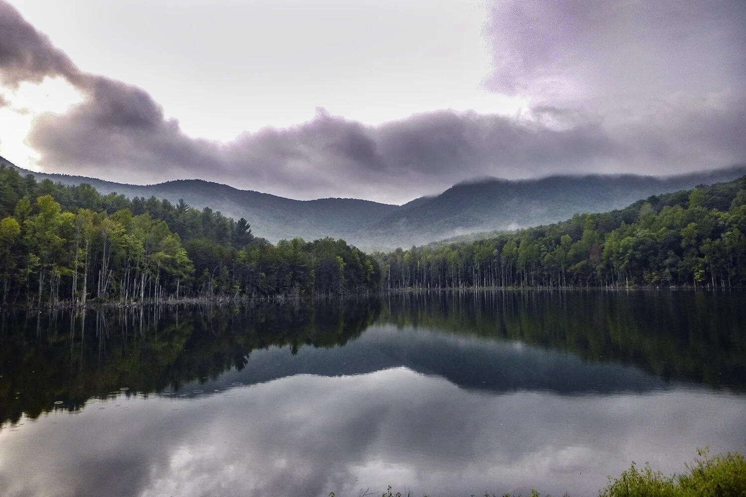
Wake County Dam EAPs and Hydraulic Studies
Alpha & Omega Group was selected in June, 2011, to develop emergency action plans (EAPs) for dams 1, 2, 3, 5A, and 20A in Wake County, in 2015 for sites 11A, 13, 18, 22, and 23, in 2020 to update EAPS for dams 1, 2, 3, 5A, and 20A, and in 2023 for dams 13, 20A and 23.
The scope for each dam included obtaining the most recent information from North Carolina Floodplain Management Program and collecting data via GIS of Wake County LiDAR contours, aerials and other pertinent information. We field-verified existing conditions and developed hydrologic and hydraulic models using the data obtained from Natural Resources Conservation Service, North Carolina Department of Environmental Quality Dam Safety, and HEC-RAS models to develop FEMA flood elevation maps. A&O assisted Wake County with other agency input including Dam Safety, NRCS, Risk Management, Public Safety, and GIS.
A&O prepared dam breach analyses, EAPs, and inundation mapping for all dams. Ω
Overview
- Client:
Wake County General Services - Location:
Wake County, NC - Contact:
Mark Hamlett
Facility and field services director
Wake Country GSA
919-856-5858 - Start / completion:
6/2011 – Ongoing (latest work in 2023) - Project manager:
Ted L. Bartelt, PE
Experience
- EAPs
- Dam breach analysis
- Hydrologic and hydraulic models
- GIS innundation mapping
Relevant Images