NC State Park Dam EAPs
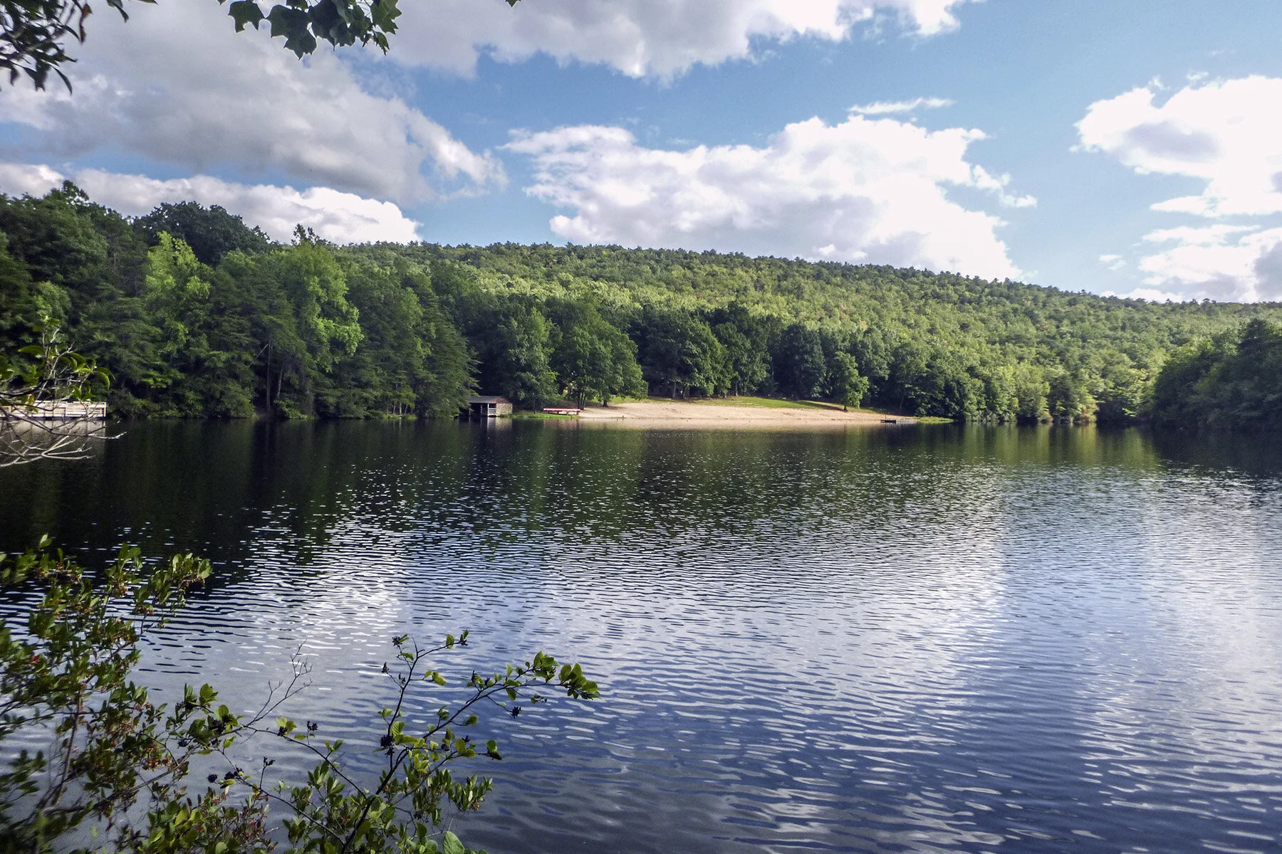
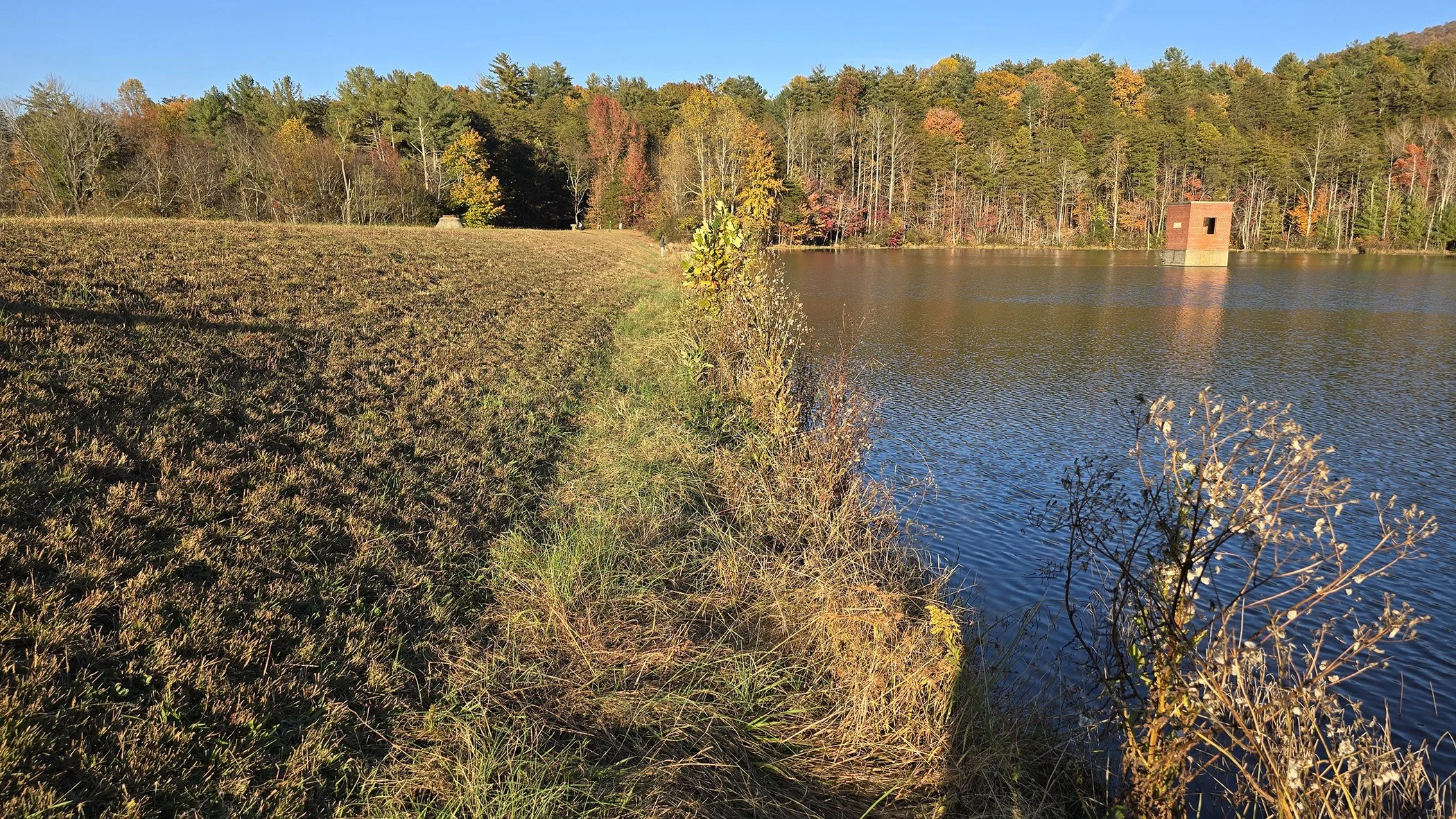
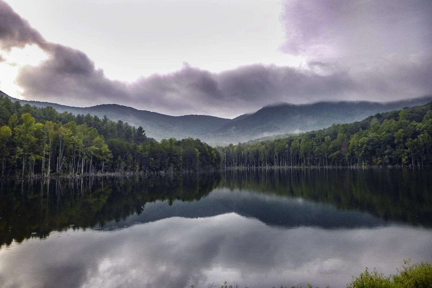
Alpha & Omega Group provided water resources engineering for emergency action plans for five dams in North Carolina state parks: Hanging Rock, Merchants Millpond, Morganton Watershed, Shorts Lake at Crowder Mountain, and South Mountain.
The scope of services included obtaining the most recent information from the North Carolina Floodplain Management Program (NCFMP) for local tributaries; collecting data via NCFMP LiDAR contours, aerials, and other pertinent information; and field verifying existing conditions of each dam and downstream structures. We calculated hydrology such as drainage area and discharges using the United States Geological Survey StreamStats tool. We developed a hydraulic model using the data obtained from NC Division of Parks and Recreation, Dam Safety, and HEC-RAS models for developing FEMA flood elevations and created georeferenced floodplain boundaries to show the inundation extents. Ω
Overview
- Client:
North Carolina State Parks - Location:
Various locations throughout NC - Contact:
Erin Lawrence, PE
NC Division of Parks and Recreation
919-733-4181 - Start/completion:
6/2015 – 12/2015 - Project manager:
Ted Bartelt, PE
Experience
- EAP
- Flood study
- Hydraulic model
Relevant Images